Forecasters Warn a 'Historic' El Niño Will Bring a Warmer, Wetter U.S. Winter
NOAA says it expects above-average warmth across much of the country and wetter conditions in several regions, with coastal flooding a risk on both coasts.
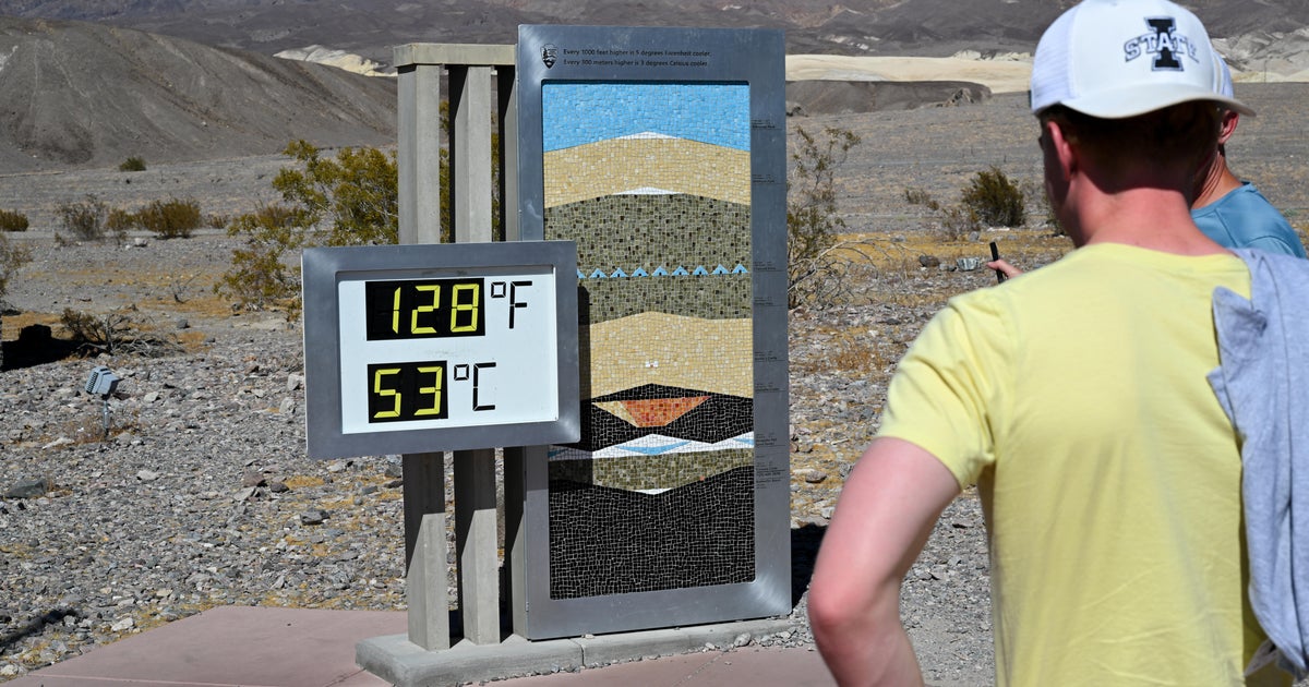
The United States is headed for a warmer and wetter winter as a "Super El Niño" alters weather patterns across the globe, according to national weather agencies.
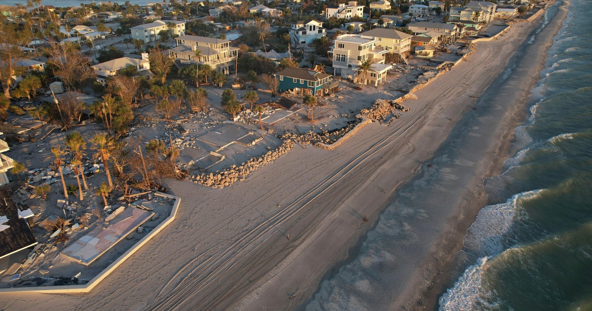
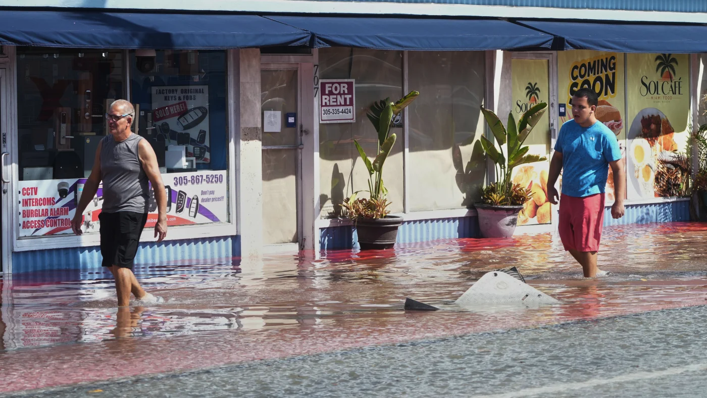
The latest forecast from the National Oceanic and Atmospheric Administration calls for warmer-than-average temperatures across much of the continental U.S., along with above-average precipitation in several regions. El Niño years are also associated with coastal flooding on the East Coast and West Coast. "It's a strong, if not historic El Niño going into this winter," said Ken Graham, director of NOAA's National Weather Service.
Forecasters caution that the outlook is a statement of odds, not a guarantee. El Niño can shift the chances toward certain conditions but does not ensure them. Still, Graham said seasonal predictions help cities prepare. "Earlier and better decisions saves lives," he said. There is an upside as well: this year's El Niño could bring rain to areas suffering from drought.
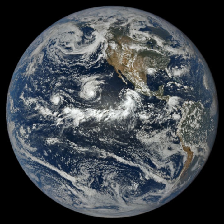
El Niño is a natural climate pattern that begins in the tropical Pacific. Every few years, a vast area of water in the eastern Pacific near the equator warms, releasing enormous amounts of heat into the atmosphere and shifting weather patterns worldwide. Meteorologists say this one could be the strongest on record, and it is arriving on top of warming from fossil fuel emissions.
Josh Willis, a climate scientist at NASA's Jet Propulsion Laboratory, calls strong El Niños "Godzilla" events, a term he credits to his colleague Bill Patzert. "It rises up out of the ocean like Godzilla, and it breathes fire on Indonesia and Southeast Asia: they're having severe drought and major wildfires," Willis said. "Its tail is kicking up hurricanes and storms and high tides on our end of the Pacific." During the strong El Niño of 2015-16, catastrophic flooding hit South Carolina and a blizzard walloped the East Coast.
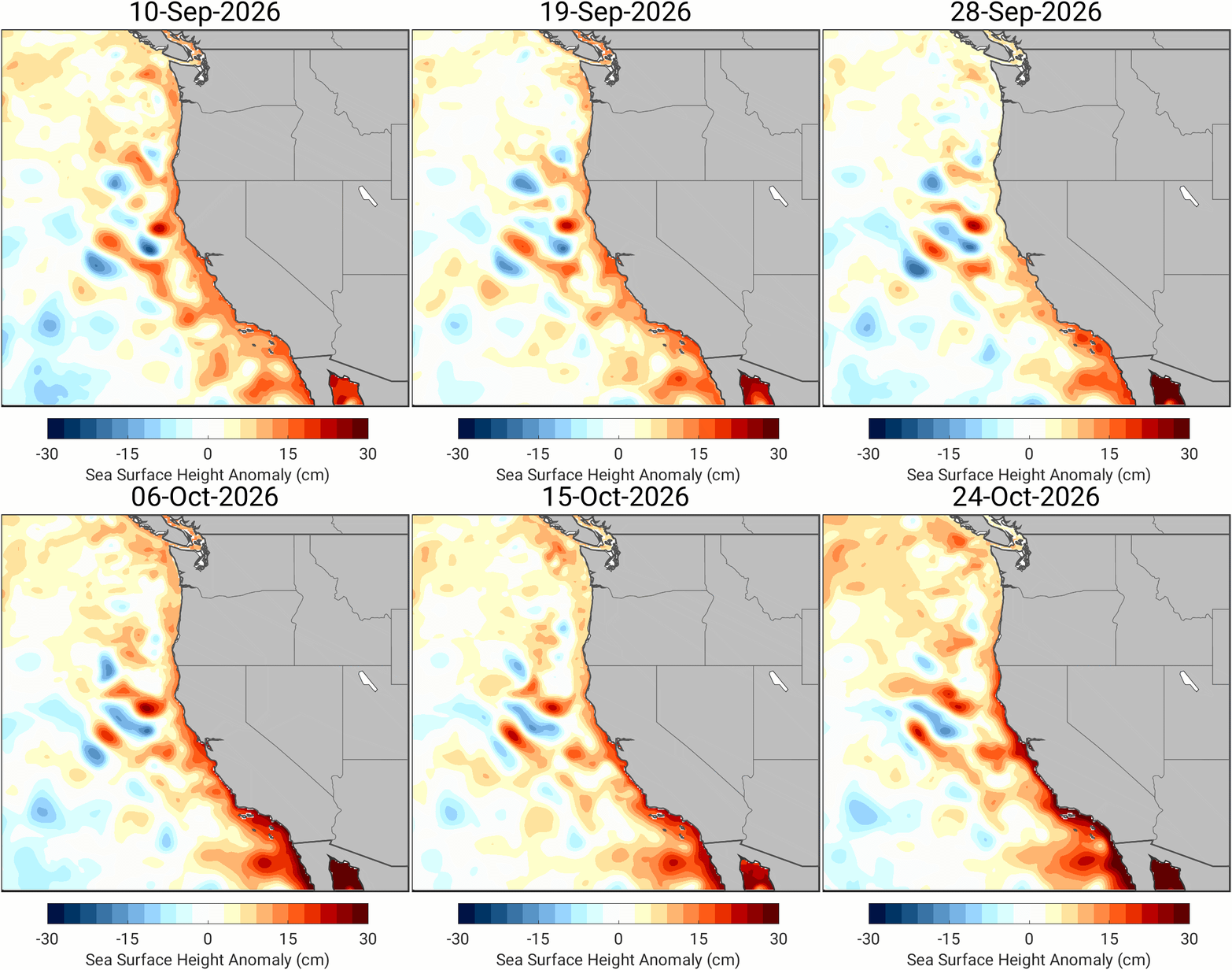
The effects have already reached the West Coast. In early October, a Kelvin wave, a large band of warm water, moved north along the coast and raised sea levels. Dillon Amaya, an assistant professor of atmospheric sciences at North Carolina State University, said Kelvin waves do not cause flooding on their own but "load the dice," raising its likelihood. One was a factor in the extensive coastal flooding tied to Tropical Storm Rachel. Another wave is now lifting sea levels along California's coast, and as of late October it sat between Los Angeles and San Francisco. Several more are expected through fall and early winter.
Forecasters expect warmer temperatures and above-average precipitation across California, particularly in Southern California, with a chance of more snow in parts of Nevada, the southern Rockies and the San Bernardino Mountains. The Pacific Northwest will also warm but is forecast to get less precipitation in places. Without colder weather, snowpack there will likely be smaller, which matters in a region already in drought where dry forests and parched soils raise wildfire risk. Low-lying Pacific Northwest shorelines are preparing for severe flooding.