It Is Mid-September and the Atlantic Has Not Produced a Single Hurricane. That Has Never Happened in the Satellite Era.
A powerful El Niño has driven wind shear over the main development region about 45 mph beyond what a storm can survive, leaving Atlantic activity at 7% of normal even as the world's oceans set heat records for 100 straight days. The Pacific, meanwhile, is 'a party out there.'
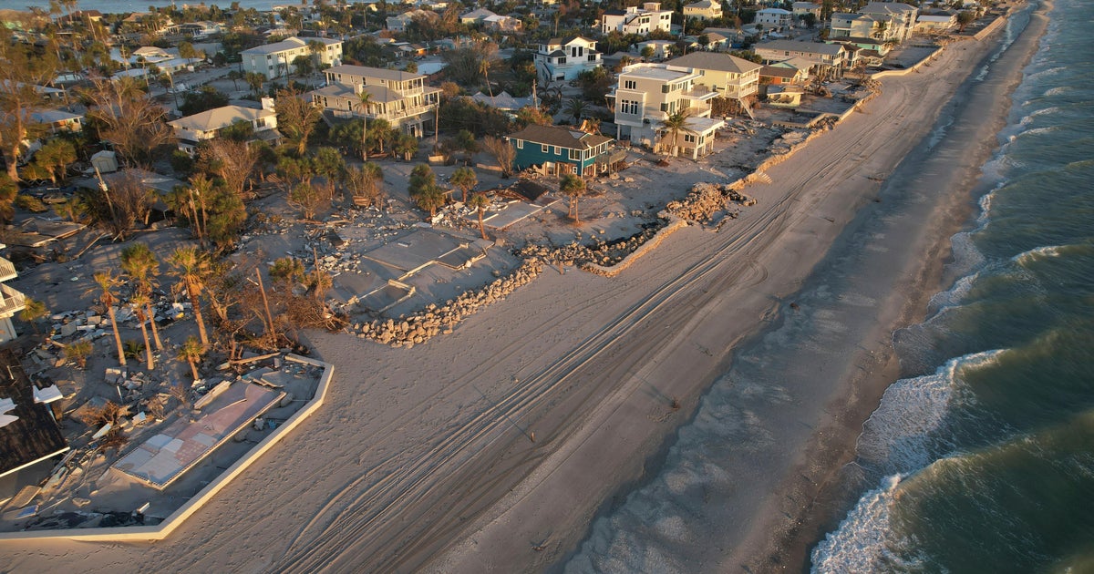
The Atlantic hurricane season has reached what should be its peak without producing a single hurricane, and on Saturday the 2026 season set a record for the longest a season has ever gone without a storm reaching the 64 mph threshold, at least since satellites began watching the ocean. No hurricane is likely to form for at least another week, according to the National Hurricane Center. Only five relatively weak and short-lived tropical storms have spun up since the season opened on June 1, and overall activity, measured by an index that combines the number of storms, their strength and their duration, is running at just 7% of normal for this point in the year, a post-1950 record low, according to Colorado State University hurricane expert Phil Klotzbach.
The cause is an enormous El Niño, the periodic warming of the equatorial Pacific that reshapes weather around the globe. Nick Novella, a meteorologist at the government's Weather Prediction Center, said there were a few years before the 1950s when no hurricanes were recorded this late in the season, but meteorologists do not trust those records because ocean monitoring was incomplete. "It's really staggering, just how inhospitable the Atlantic is to anything that could form a tropical cyclone right now," said Kristen Corbosiero, an atmospheric science professor at the University at Albany. "Anything that tries to form is just getting this triple whammy" of winds that decapitate a storm, dry air that starves it, and sinking air that stomps on it.
The biggest single factor is record-strong wind shear, in which easterly winds hit a developing system at low altitude while westerlies push the other way high above, tearing the storm apart. In the stretch of ocean between Africa and the Caribbean where the strongest hurricanes normally form, that shear is about 45 mph more than a tropical cyclone can withstand, Corbosiero said, a level she called unheard of. "Their heads are cut off before they even have a chance," said University of Miami hurricane expert Brian McNoldy. Add dry air, choking African dust, fewer of the atmospheric "seeds" that grow into storms, and high pressure pushing air downward, and the result is an ocean that cannot start a fire. "It's just hammering the Atlantic," Klotzbach said. "We haven't even had anything really even close to a hurricane."
All of this is happening despite sea-surface temperatures that would normally feed monster storms; the world's oceans have been record hot for 100 days. Kerry Emanuel, a meteorology professor at the Massachusetts Institute of Technology, said the explanation lies in the difference between the air and the water rather than the water alone. Hurricanes are powered by heat flowing from the ocean into the atmosphere, and El Niño has warmed the air over the Atlantic faster than the water beneath it, shrinking that gap. The catch, Emanuel warned, is that the ocean lags the atmosphere by a few months. When El Niño fades next year and the air cools back toward normal, the warm water will still be there, raising the odds of an unusually busy 2027 season.
Forecasters are careful to say that a quiet season is not a safe one. Several experts pointed to 1992, which began late and then produced Hurricane Andrew, and Corbosiero noted that the one region where shear has not been extreme is the Gulf of Mexico, where storms tend to develop later in the season. The Pacific tells the opposite story. El Niño suppresses Atlantic storms but supercharges the Pacific with moist air and little shear, and so far this year activity in the eastern Pacific is nearly double normal, with hurricanes lasting much longer than usual, while the central Pacific is running about 40% above normal. There have been 16 named storms in the eastern Pacific and 20 in the central Pacific against the Atlantic's five. "It's just a party out there, one right after the other in the eastern Pacific," Klotzbach said.
Hawaii has paid for that. Hurricane Lowell pelted the state's western islands last week, knocking out power across Kauai and dumping 17.76 inches of rain on the small community of Hanalei. In August, Hurricane Lala passed 30 miles off the Big Island as a Category 1 storm, bringing torrential rain and gusts over 80 mph that caused widespread outages and washed away about 100 homes without ever making landfall. Colorado State's preseason forecast had called for nine named Atlantic storms, and forecasters months ago predicted a slow season because El Niño's effects are well understood. Even so, McNoldy said, "I don't think anyone really foresaw it being this quiet. This is quite remarkable."
Originally reported by CBS News / Associated Press.