Three Hurricanes Spun in the Pacific at Once. That Has Happened One Other Time on Record
Lowell reached Category 5 south of Hawaii, Karina held Category 4 to its east, and Marie churned off Baja California. The Atlantic has not produced a single hurricane this season.
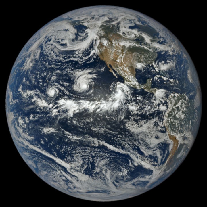
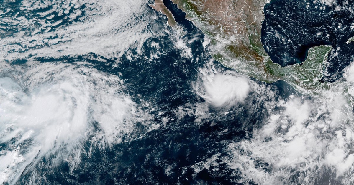
Three named hurricanes were turning in the eastern and central Pacific at the same time this week — Lowell, Karina and Marie — a lineup forecasters say has been matched only once in the modern record, in 2015. All three were visible in a single frame captured on September 1 by the EPIC camera aboard NOAA's DSCOVR satellite, which watches the sunlit face of the planet from roughly a million miles out.
Lowell was the strongest of the group. It underwent rapid intensification and reached Category 5 strength on September 2 in open water south of Hawaii, holding that intensity for several hours before weakening. Karina peaked at Category 4 at almost exactly the same time, an unusual simultaneous pairing of major hurricanes in a basin that normally spaces its storms out. Marie, the westernmost of the trio at the time of the satellite image, was still a tropical storm then and strengthened as it tracked northwest of Mexico's Baja California peninsula. A fourth disturbance was being monitored offshore of Mexico behind them.
The National Hurricane Center in Miami and the Central Pacific Hurricane Center in Honolulu were issuing advisories on all three storms concurrently. None made landfall as a major hurricane, and the immediate threat to Hawaii from Lowell eased as the system encountered wind shear and cooler water, but the sheer density of activity is what stood out. By the first week of September the northeast Pacific had produced 15 named storms and six hurricanes, well ahead of the pace a normal season sets by that date.
The Atlantic has been the mirror image. Through the same stretch the basin had produced five named storms and zero hurricanes, with Tropical Storm Edouard the season's main event after it came ashore across Louisiana and Texas and dumped 15 to 24 inches of rain in places. That split is the signature of El Niño. The warm-phase pattern in the tropical Pacific tends to add wind shear over the Atlantic — which tears developing storms apart — while easing it over the eastern Pacific and leaving warmer water in place for storms that do form.
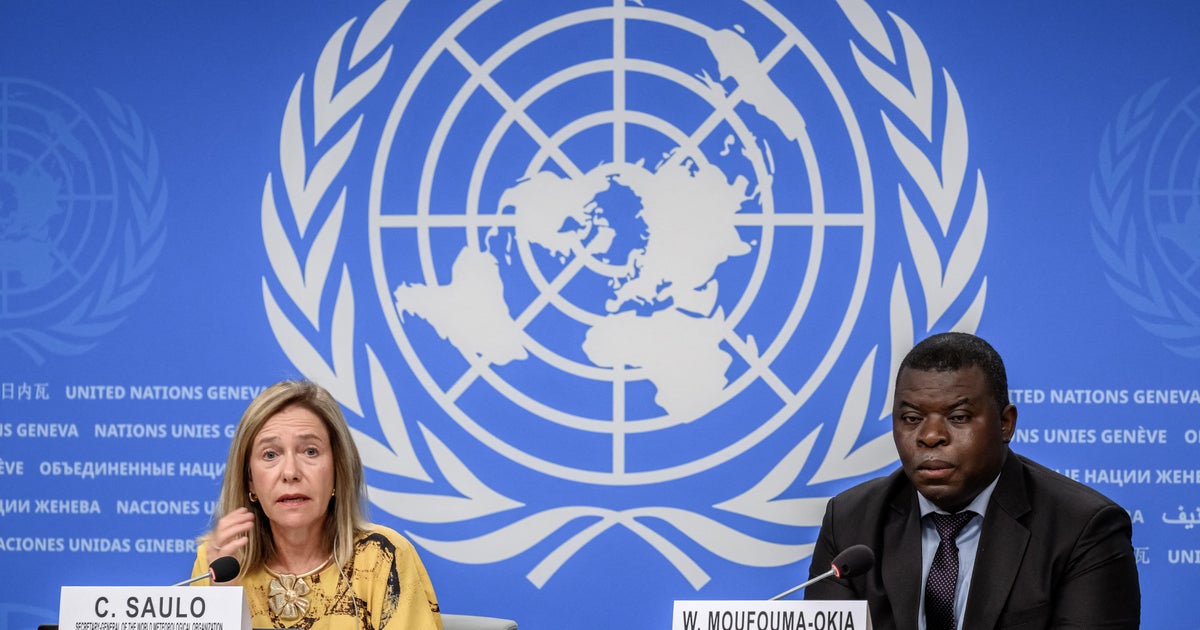
Forecasters at the World Meteorological Organization have said this El Niño is likely to keep strengthening into 2027, which would extend the imbalance well past the traditional September 10 peak of the Atlantic season. NOAA scientists are tracking a set of ocean indicators along the West Coast — sea surface height, subsurface temperature, coastal upwelling — for signs of when the event's effects arrive on the North American shoreline.
For coastal residents, the practical takeaway cuts both ways. A quiet Atlantic season is not a guarantee of anything, since single late-season storms have caused the region's worst disasters. And an overactive Pacific basin, most of whose storms die harmlessly at sea, still puts Hawaii and Mexico's Pacific coast in the crosshairs more often than usual.