The WMO Now Says It Is Nearly Certain This El Nino Keeps Deepening Into 2027
Tropical Pacific waters are running 1.5 to 2.6 degrees Celsius above normal. Antonio Guterres says the event is being 'supersized before our eyes.'
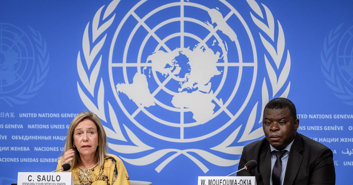
The World Meteorological Organization released an updated forecast Thursday with a level of confidence it almost never attaches to anything: near certainty that the El Nino now building in the Pacific will keep deepening through early 2027.
Sea surface temperatures across the tropical Pacific are already running 1.5 to 2.6 degrees Celsius above normal. The WMO expects the event to reach "very strong" status near the end of 2026 and to peak as the year closes. Forecasters rarely put close to 100% odds on any ENSO outcome, because the Pacific has a long history of embarrassing them. This time they did.
"El Nino is being supersized before our eyes," U.N. Secretary-General Antonio Guterres said. "The science leaves no room for doubt: the planet is in uncharted waters, and those waters are heating up." WMO Director Celeste Saulo was more concrete about what that means on the ground. "We are already seeing disruption and devastation caused by droughts and floods, and we expect these to worsen as El Nino intensifies," she said.
El Nino is the warm phase of a Pacific temperature cycle, and it works by moving where the atmosphere dumps its rain. Warm water shifts east, the jet streams reorganize around it, and the result is too much rain in places that are normally dry and none at all in places that depend on it. Nearly the entire surface of the Earth runs above its normal temperature during a strong event, which is why the hottest years on record have consistently been El Nino years.
The reason this particular event worries forecasters is not the anomaly by itself but what it is stacking on top of. Baseline ocean temperatures are already elevated after a decade of accelerating warming, so an El Nino spike lands on a higher floor than the last comparable one did. The same 2 degrees of Pacific warming produces more severe consequences than it would have in the 1980s, because there is less margin before thresholds get crossed — for crops, for coral, for the heat that human bodies can tolerate outdoors.
Guterres described the world as having entered a "danger zone of extreme weather." The practical response so far is early warning. The World Health Organization has launched a campaign with national weather agencies to strengthen forecasts and warning systems, on the theory that the difference between a drought and a famine is usually how many months of notice a government has.
Agriculture ministries in southern Africa, Southeast Asia and Central America tend to feel a strong El Nino first, through failed rains. Peru and Ecuador get the opposite problem — flooding on the Pacific coast. The Atlantic hurricane season usually quiets down, which is the one piece of good news in the package. The WMO's forecast runs to at least February 2027.