Polo's Remnants Send Historic Flood Threat Across Texas and the Plains After Arizona Rescues
Forecasters expect 3 to 5 inches of rain from Texas to Illinois, with rates near 2 inches an hour. Water rescues and swept-away cars were already reported in Arizona.
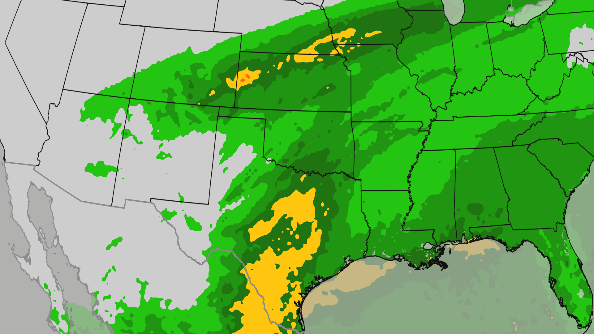
Moisture from the remnants of Hurricane Polo is spreading north across the Southwest and into the Plains, and forecasters warn of a flood threat that is unusual for this part of the country.
The Weather Channel said the plume was moving into Texas, Oklahoma and Colorado on Wednesday, with rainfall rates reaching 2 inches per hour in some places. A plunging jet stream is helping pull the tropical moisture northward, widening a threat that had already caused damage in the Desert Southwest earlier this week.
Between September 27 and 29, flooding in the Southwest prompted water rescues in Arizona and swept away multiple vehicles. Bullhead City, Arizona, recorded 3.91 inches of rain during that stretch.
The next phase is expected to hit farther east. Texas, Oklahoma and parts of the Midwest face 3 to 5 inches of rain, with higher totals possible in spots. For Dallas-Fort Worth, forecasters said it would be the heaviest rainfall since early July. A separate stripe running from Kansas through southern Nebraska, northern Missouri, southern Iowa and northern Illinois is also expected to see 3 to 5 inches or more.
The timing matters for anyone planning to travel. On Wednesday the threat expands into Texas, Oklahoma and Colorado, with the potential for severe storms as well. By Thursday it reaches the Southern Plains and the Great Lakes, with the heaviest rain focused on Texas. Over the weekend, the leftover moisture is expected to linger in the Southeast and bring several days of rain.
Forecasters stressed how out of the ordinary the setup is. "Heavy rains from the remnants of tropical systems are very rare across western Kansas," the report noted, which is one reason the Plains flood risk is drawing attention this week.
Hurricane Polo reached Category 5 strength off Mexico last week, ranking among the strongest Pacific storms on record.
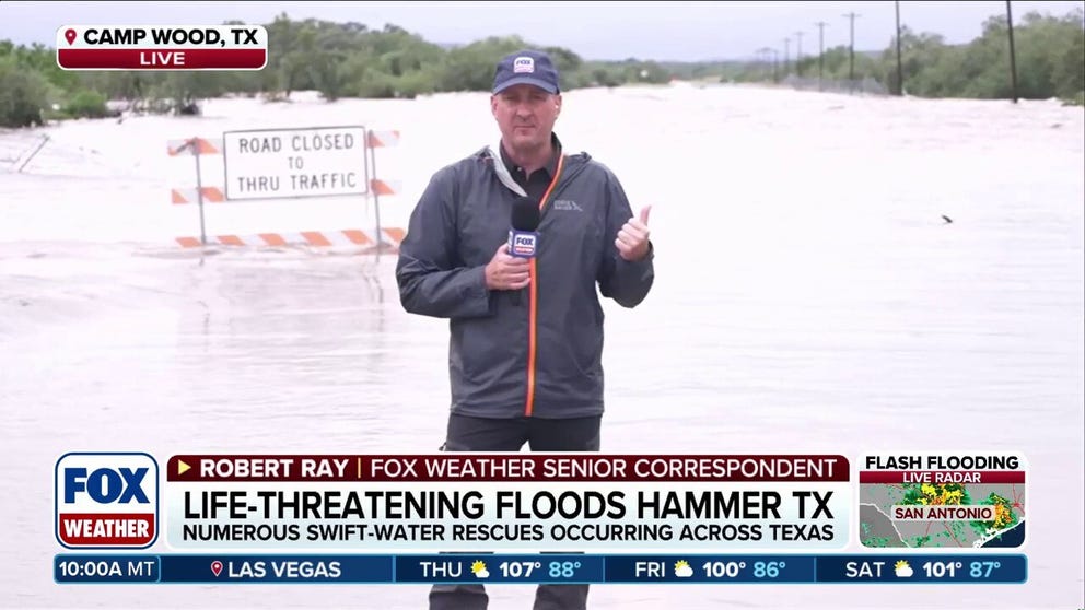
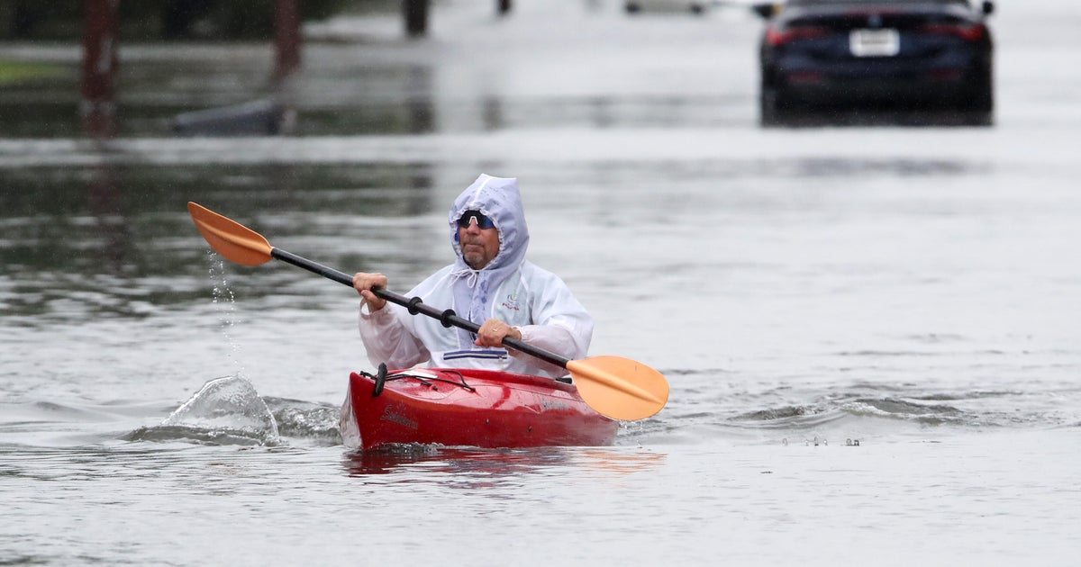
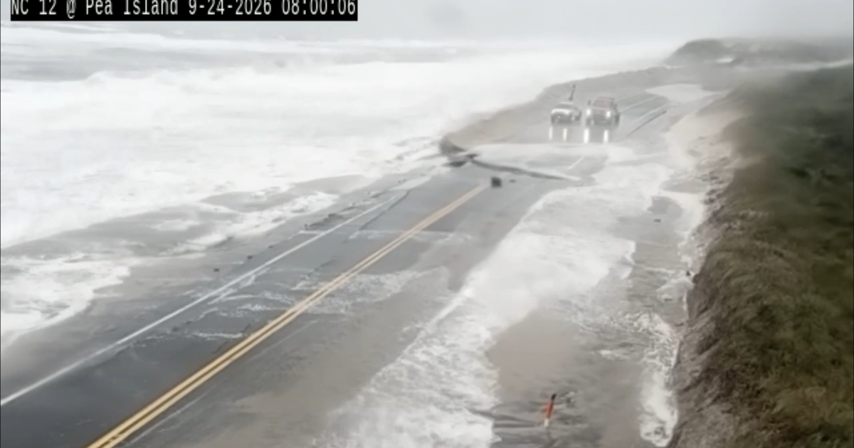
Officials repeated the standard warning that has saved lives in past floods: turn around rather than try to drive through flooded roads. Water depth is hard to judge, and even shallow, fast-moving water can carry away a vehicle. Residents in the affected areas were urged to follow local flood watches and warnings as the rain arrives.
The Weather Channel said the flood threat would build through Wednesday and Thursday as the moisture plume moved east. Anyone in the Southern Plains, the central Plains or the Midwest should check local forecasts for flood watches, avoid low-lying roads during heavy downpours, and never drive into water covering a road, since currents can move a car even when the water looks shallow.