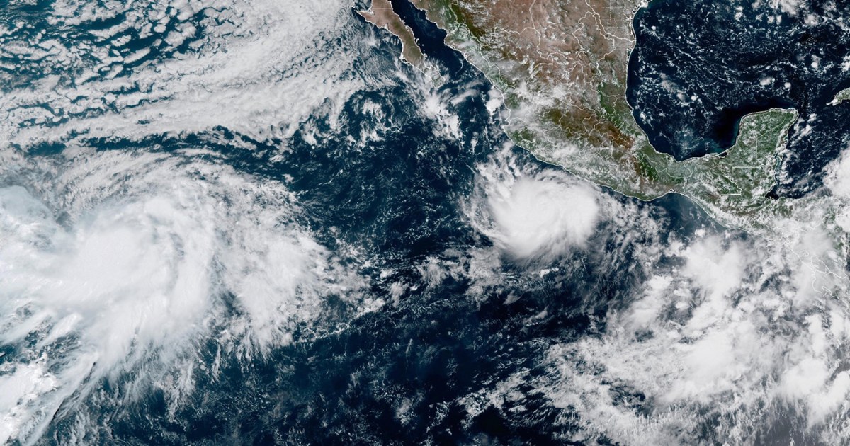
Nor'easter Slams the Jersey Shore as New York and New Jersey Declare States of Emergency
Tens of millions from Delaware to Cape Cod are in the path of a rare September nor'easter bringing storm-force winds, major coastal flooding and canceled games, concerts and ferries through Saturday.
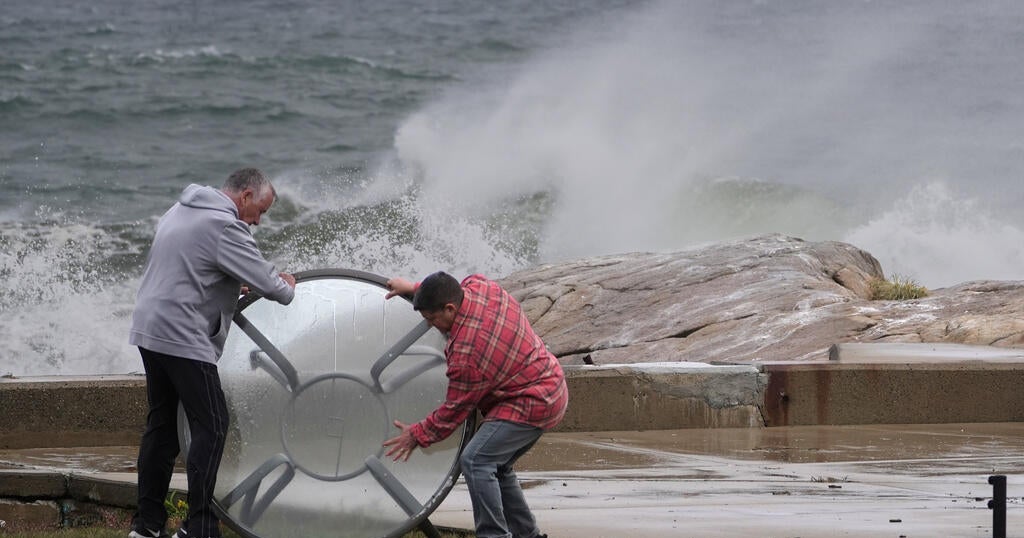
A powerful nor'easter intensified off the Mid-Atlantic coast Friday, pushing storm-force winds and towering surf toward New Jersey, Long Island and New England as the governors of New York and New Jersey declared states of emergency and coastal towns urged residents in low-lying streets to leave.
Tens of millions of people are in the storm's path, which stretches from the Delaware beaches to Cape Cod and the islands. The National Weather Service warned of dangerous flooding along the Mid-Atlantic coast, particularly near New Jersey and Delaware, from Friday into Saturday. "The heaviest rain is probably going to be from coastal Jersey, Long Island, up to Rhode Island, and eastern Massachusetts," said Brian Hurley, a senior forecaster with the NWS Weather Prediction Center, who added that the system should begin to weaken later Saturday.
The Jersey Shore was already taking a beating before the worst arrived. Roads in Ship Bottom on Long Beach Island were submerged Friday, with some drivers trying to push through rising water while residents grabbed what they could and walked to higher ground. In Ocean City, block after block was underwater as high surf chewed into the beaches. Manasquan issued a voluntary evacuation for low-lying neighborhoods. "We're definitely seeing at the high end of moderate and maybe the low end of major flooding," Manasquan Mayor Mike Mangan said. "That means there is going to be a lot of water in the streets for a long time."
In Sea Bright, a narrow barrier strip in Monmouth County, Mayor Brian Kelly said the borough was bracing for 50 mph winds and flooding up to 6 feet deep on some streets, with the water expected to peak around midday Saturday. He compared it to Hurricane Irene, the 2011 storm that flooded much of the Northeast. "I hope I'm wrong, but that's my gut feeling," Kelly said. The town opened its recreation center to evacuees. On Long Island, crews in Freeport piled sand into a wall along the beach to hold back the tide, and Mayor Robert Kennedy said the flooding would depend heavily on whether the tide stays in.
Farther north, the NWS office in Norton, Massachusetts, said gusts could reach 60 to 65 mph on Cape Cod, Martha's Vineyard and Nantucket Friday night and Saturday, with 50 to 55 mph around Boston. Meteorologist Matthew Belk warned that because leaves are still on the trees this early in the fall, branches catch more wind, raising the risk of downed limbs and power outages. In Scituate and Cohasset, on Massachusetts' South Shore, some seawalls are mid-repair or stalled by federal funding cuts, leaving oceanfront homes exposed. Boston Mayor Michelle Wu urged residents to "plan ahead a little bit."
The storm has already scrambled the weekend. Ed Sheeran canceled his Friday and Saturday concerts at Gillette Stadium in Foxborough. The Boston Red Sox moved Sunday's game against the Chicago Cubs into a Friday doubleheader. The Steamship Authority canceled widespread ferry service between Cape Cod and the islands, Block Island ferries in Rhode Island were halted, and several flights to the islands were scrubbed. In New York, the Global Citizen Festival scheduled for Saturday on Central Park's Great Lawn was called off.
The system is the same nor'easter that earlier this week broke through dunes on North Carolina's Outer Banks and tore up a section of N.C. 12. Forecasters expect it to weaken later Saturday as it moves through New England, but the heaviest rain and the highest tides are forecast to hit the coast before then.