A Neural Network Read Two Million Seismograms and Found Six Belts of Rubble at the Edge of Earth's Core
Researchers pulled 174,929 faint precursor signals out of 34 years of global seismic records — about 10 times every previous dataset combined — and connected scattered anomalies into continuous structures 1,800 miles down.

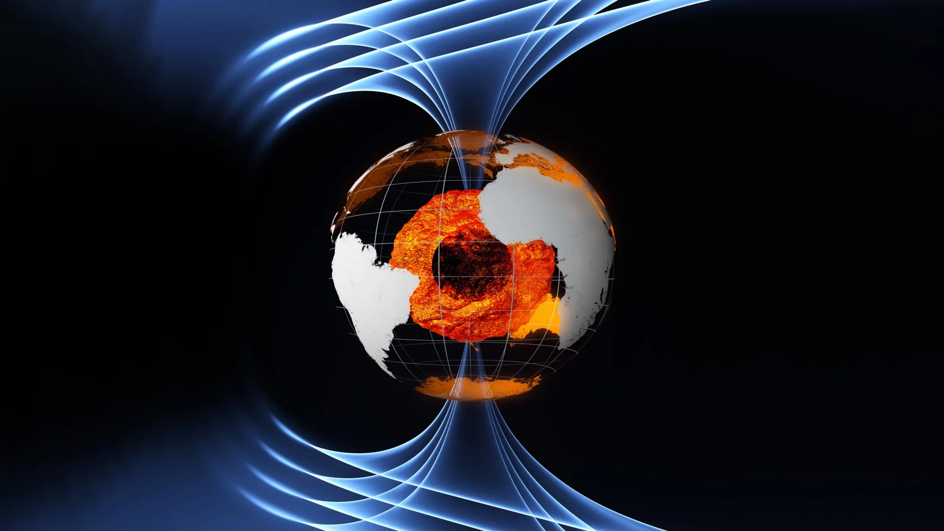
Eighteen hundred miles beneath your feet, the rocky mantle ends and the liquid iron core begins. That surface — the core-mantle boundary, 2,900 kilometers down — is the sharpest interface inside the planet, and it is also the least directly observed. Nobody has ever seen it. Everything known about it has been inferred from the way earthquake waves bend, bounce, and scatter on their way through.
A study published September 6 in the Journal of Geophysical Research: Solid Earth has produced the densest map of that boundary yet made, and the method is as notable as the result. Yurui Guan and colleagues trained a deep learning network on more than two million seismic recordings collected worldwide between 1990 and 2024, and used it to hunt for one specific, faint feature: PKP precursors.
PKP waves travel from an earthquake down through the core and back up. Precursors are the small arrivals that show up slightly ahead of the main pulse, produced when the wave scatters off something rough near the boundary. They are quiet, easily buried in noise, and until now have been identified essentially by hand — which is why previous global catalogs were small and patchy.
The network changed the arithmetic. It filtered out poor-quality records, classified waveforms, and identified 174,929 precursor signals, roughly 10 times the total of all prior global datasets combined. Researchers hand-checked subsets of the output to improve the model's accuracy, then converted the detections into two probability maps: one showing how consistently precursors appear in a given region, the other showing where the scattering objects themselves are likely to sit.
What emerged was not a scatter of isolated anomalies but six continuous bands of irregular structure. They run beneath the North Atlantic, northern Eurasia, the South Atlantic, southern Africa, the Pacific, and around Antarctica. Earlier work had spotted pieces of several of these; the density of the new catalog is what allowed those fragments to be joined into belts.
Several of the highest-probability scattering regions overlap with ultra-low-velocity zones — patches at the base of the mantle where seismic waves slow dramatically, long suspected to be partially molten or unusually dense. The overlap is a useful consistency check, since two independent lines of evidence are pointing at the same places.
The interpretation the authors favor is that the lowermost mantle is a composite of three processes: ancient oceanic plates that subducted and eventually piled up at the bottom, chemical segregation of materials that never mixed back in, and localized melting. In that reading, the belts are a record of plate tectonics kept at the deepest place it reaches. The paper is DOI 10.1029/2025jb033195.