Scientists Fly Into 'Firestorm' Clouds Over Western Wildfires in First Big Season of INSPYRE Campaign
Two research aircraft gathered an unprecedented data set on pyrocumulonimbus storms, wildfire-fueled thunderclouds that spawn dry lightning, fire tornadoes and smoke plumes reaching the stratosphere.

Minutes into a planned research flight from Colorado to Oregon in August, scientists realized a fire in Utah offered a better target. Ground staff scrambled to draw up a new flight plan, and the pilots of the National Science Foundation's National Center for Atmospheric Research (NSF NCAR) Gulfstream V worked to get air traffic controllers to clear them toward a wildfire-generated thunderstorm. That kind of quick pivot is what let a major field campaign this summer collect unprecedented observations of pyrocumulonimbus clouds, nicknamed "firestorm" clouds.
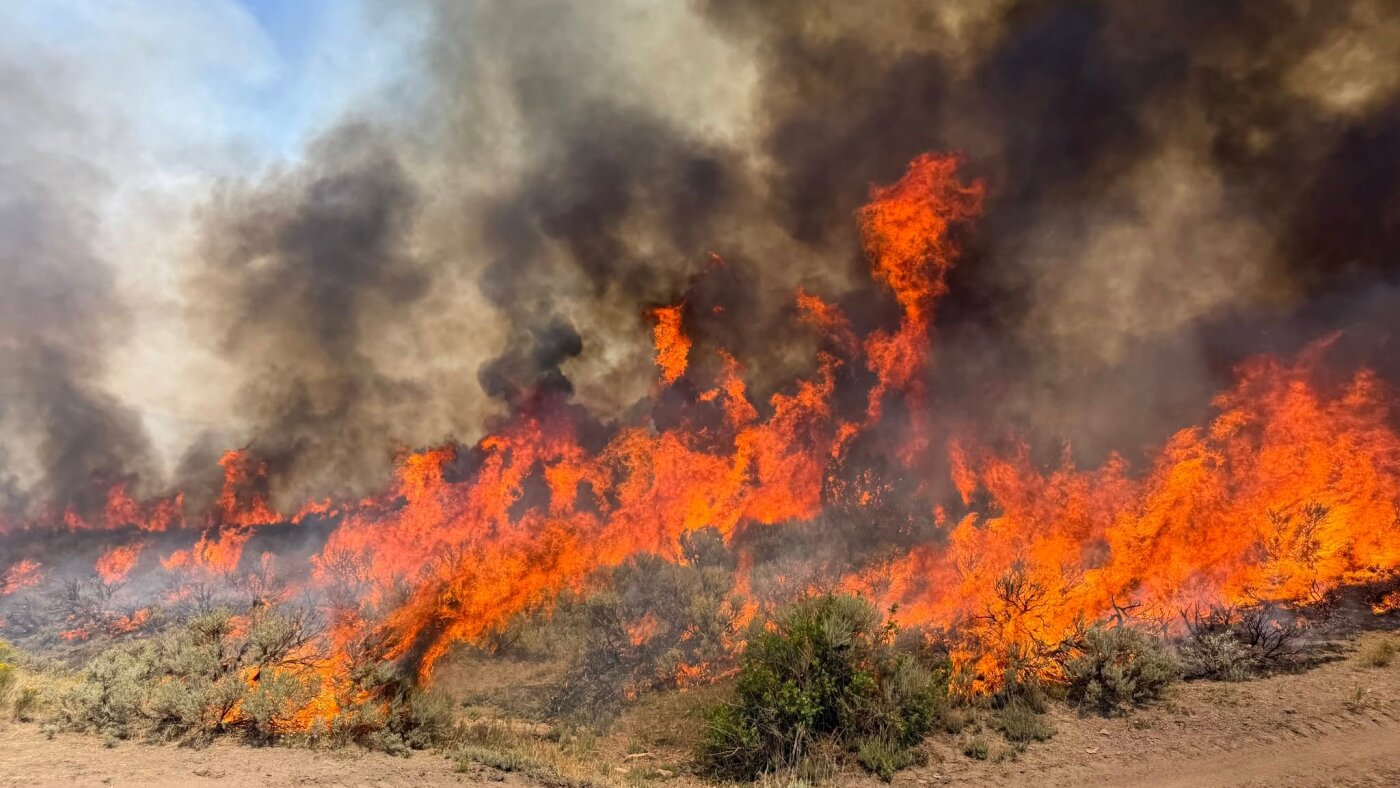
Pyrocumulonimbus storms form when intense wildfires heat the air enough to build towering thunderclouds. They can produce dry lightning, strong downbursts of wind and fire tornadoes, along with dense smoke plumes that climb as high as the stratosphere and sometimes to the cruising altitudes of aircraft. The winds can whip up flames, and lightning can ignite new fires, creating a self-sustaining cycle that is poorly understood and extraordinarily hard to predict.
The campaign is called INSPYRE, short for INjected Smoke and PYRocumulonimbus Experiment. It is a collaboration among NASA, the Naval Research Laboratory, the University of Nevada, Reno, NSF NCAR and other partners, funded through NASA's Earth Ventures program. It is scheduled to span five years, with another field deployment in 2027 followed by three years of analysis and publication.
Two aircraft did the work. NASA's high-altitude ER-2, based in Great Falls, Montana, carried remote sensors above the fires. The NSF NCAR Gulfstream V, based in Broomfield, Colorado, flew into the plumes and surrounding air with instruments that measured gases, particles and atmospheric motions. Among the storms it studied up close was one fueled by the Border 2 wildfire in Washington state and British Columbia. "This first INSPYRE deployment gave us an unprecedented opportunity to observe fire-generated storms from multiple perspectives and at multiple stages of their development," said David Peterson, a research meteorologist at the Naval Research Laboratory and the campaign's principal investigator.
The researchers hope the data explain why some wildfires generate these storms and others do not. "Being able to predict when a fire is going to have enough energy in the right atmospheric environment to create these clouds is very challenging," said NSF NCAR scientist Teresa Campos, who used two spectrometers on the Gulfstream to measure concentrations of several gases. She noted the polluted air parcels these storms create are long-lived and can travel thousands of miles downwind, influencing weather and atmospheric properties far from the fire.
Peterson said the team now has "an extraordinary data set" that should show how the storms move smoke into the upper atmosphere and how to better predict their impacts. Scientists expect the findings to improve weather forecasting, help firefighters, and give pilots better information for avoiding turbulence and other hazards near major fires. Pyrocumulonimbus clouds remain one of the least understood forms of severe weather on Earth, and the scientists say the next deployment in 2027 will build on what the first season captured.