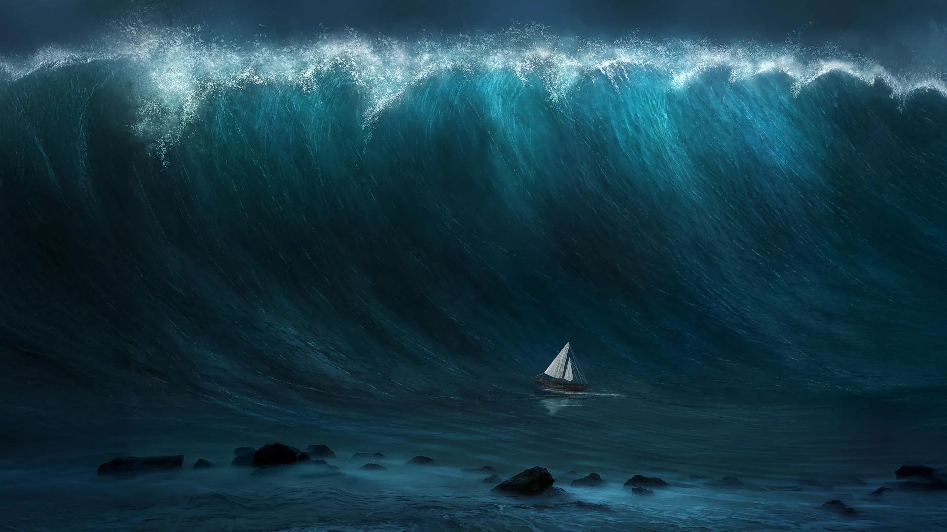
NASA Satellite Captures the First Detailed Look at a Giant Tsunami — and Overturns a Key Assumption
The U.S.-French SWOT satellite mapped the Pacific tsunami unleashed by a magnitude 8.8 Kamchatka earthquake, revealing waves far more scattered and complex than the textbook picture of a single, stable surge.
A NASA satellite has delivered the most detailed view yet of a major tsunami racing across the open ocean, and the data are forcing scientists to rethink how the giant waves behave once they leave the coastline behind.
The observations came from the Surface Water and Ocean Topography satellite, known as SWOT, a joint mission of NASA and the French space agency CNES. The spacecraft happened to pass over the Pacific roughly 70 minutes after a magnitude 8.8 earthquake struck the Kuril-Kamchatka subduction zone — a quake that ranks as the sixth largest recorded anywhere in the world since 1900 — capturing the first high-resolution, wide-area snapshot of a tsunami generated by a subduction-zone rupture.
What the satellite saw upended a long-held assumption. Textbook descriptions treat a large tsunami as a single, stable wave that marches across the ocean as a coherent front. Instead, SWOT revealed a far messier reality: the waves were complex and scattered, breaking into multiple components that spread in ways existing models had not predicted. The data also pointed to an earthquake rupture larger than earlier analyses had suggested, helping scientists reconstruct the event with new precision.
The breakthrough came from SWOT's ability to measure tiny variations in sea-surface height across a broad swath of ocean at once, a capability that conventional instruments cannot match. Researchers combined the satellite's measurements with readings from DART buoys — the Deep-ocean Assessment and Reporting of Tsunamis network — which are anchored across the Pacific to detect subtle changes in sea level and feed early-warning systems.
Scientists say the marriage of a wide-view satellite and a network of pinpoint ocean buoys could sharpen tsunami forecasting in the critical minutes after a major quake, when accurate predictions of where and how hard waves will hit can save lives. Understanding that real tsunamis fragment and scatter, rather than travel as a single tidy wall of water, may help emergency planners better anticipate which coastlines face the greatest danger — and refine the warnings that coastal communities depend on.
Originally reported by ScienceDaily.